About Nagaland
- Dimapur is the ancient capital of the Kachari tribe, whose rule existed before the 13th century AD. The name Dimapur comes from the Kachari dialect
- Etymologically Di means "water", Ma means "big" and pur means "city"; in effect, the name means "the city near the great river."
- The Kachari kingdom flourished in Dimapur in the days of old is evident from the existence of the Kachari Rajbari Fort ruins, housing the ancient stone monoliths, and the many excavated tanks dug by the royalty known even today as the Rajpukhuri, Padampukhuri, Bamunpukhuri, Jorpukhuri etc.to name a few.
- Dimapur is the main commercial hub and one of the three municipalities in the state of Nagaland, India, the other two being Kohima and Mokokchung.
- Dimapur is also a gateway to Nagaland and Manipur. The National Highway 39 that connects Imphal and the Myanmar border at Moreh runs through Dimapur.
- Dimapur is also an important military center, with the headquarters of the BRO Sewak located here.
- There is also a huge CRPF establishment and the Rangapahar army cantonment adjoining the municipality. The peace camp headquarters of the NSCN-IM faction is also located here.
- Dimapur is the only city in Nagaland which is connected by rail and air. The State of Nagaland was formally inaugurated on December 1st, 1963, as the 16th State of the Indian Union. It is bounded by Assam in the West, Myanmar (Burma) on the east, Arunachal Pradesh and part of Assam on the North and Manipur in the South.
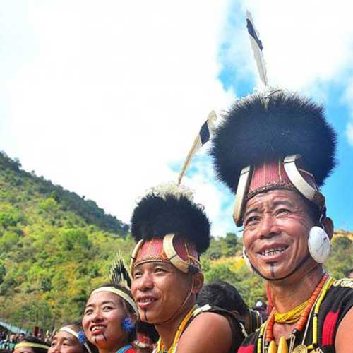
- The State consists of seven Administrative Districts, inhabited by 16 major tribes along with other sub-tribes. Each tribe is distinct in character from the other in terms of customs, language and dress. It is a land of folklore passed down the generations through word of mouth. Here, music is an integral part of life; folk songs eugolising ancestors, the brave deeds of warriors and traditional heroes; poetic love songs immortalising ancient tragic love stories; Gospel songs that touch your soul (should you have a religious bend of mind) or the modern tunes rendered exquisitely to set your feet a-tapping.
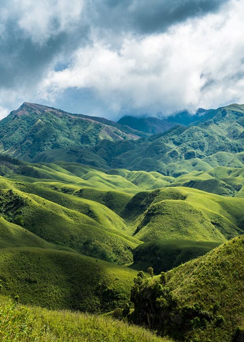
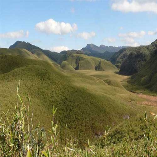
- Nagaland is an ideal place for trekking, rock climbing, jungle camping and offers limitless exploration possibilities in its lush and verdant sub-tropical rain forests which are also a treasure trove of a plethora of medicinal plants.
How to Reach Dimapur
By Air
Dimapur owns an airport, which is the only airport of the state. Dimapur is connected by air route with the rest of the country with daily flights to Guwahati, Kolkata and Delhi
By Road
Dimapur roads connect Dimapur to other major cities of the north east India. NH-36 and NH-39 connects Dimapur to the rest of the country. Kohima the capital of the State, district headquarters, important towns and villages are connected to Dimapur by the Nagaland State Transport, Taxis and other mode of conveyances
By Rail
Dimapur also own a rail station, which serves rail service to Guwahati connecting it to the rest of India.
